Wilford Crescent (East and West) The Meadows
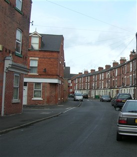
Wilford Crescent West 2009
HW 2009
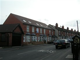
Wilford Crescent East 2009
HW 2009
Wilford Crescent (East and West) follows the line of a watercourse - the Wilford Drain - which remained uncovered until the area was developed in the late 1880s.
The route of the Wilford Drain can be clearly seen on the 1884 Ordnance Survey map of the area (Scale 25" to 1 mile,Sheet 42.vi).
Both Wilford Crescent East and West survived most of the major redevelopment of the Meadows area during the 1970s.
This page was added by
H W on 06/06/2012.